Hike on Mount. Ophir (Gunung Ledang), Johor
"Hikers had rated Gunung Ledang (Mount. Ophir) as the 6th difficult summit trails among Malaysia mountains. There's 4 trails can go up to the summit. Here's the hiker's trail from Gate B, Pusat Operasi Taman Negara Gunung Ledang. Total 8 checkpoints (CP) along the trail. The terrain before CP5 is quite gentle uphill. The KFC session is after CP6 up to CP 8 (summit) ... Along the way there's ropes and ladders to assist. This is not a leisure jungle walk." - By Snail-Works
 Welcome to Mount Ophir of Johor
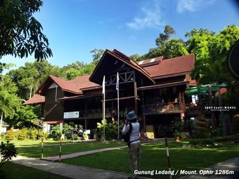 Pusat Operasi Taman Negara Gunung Ledang
"We have not much time to enjoy the scenery due to we were late to the trailhead. There's rule that if anybody cannot reach summit before 3.00pm, he/she must turn back from the point where he/she is. Hikers are not allowed to camp overnight in the park." - By Snail-Works
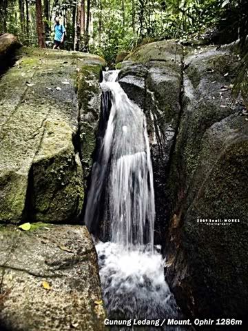 a small cascade near CP5 Sungai Tiga Segi
"I hope next time i can have more time to explore the waterfalls and flora here." - By Snail-Works
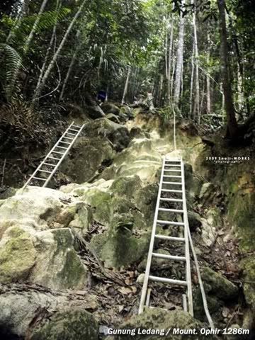 Start of KFC! (KFC = Killing Fitness Centre)
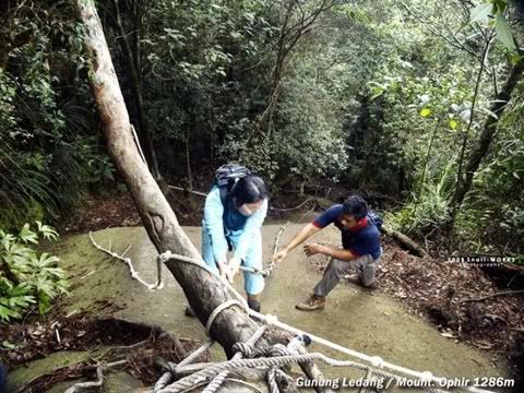 guide is guiding us how to cross the big boulder
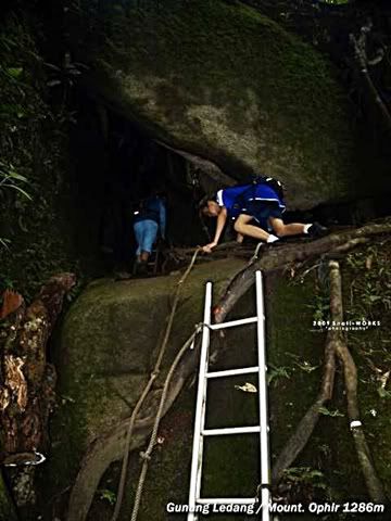 CP6 Gua (Cave) Kambing
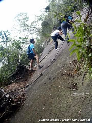 continue of rock ascent
There must at least few hours of climb & hike to reach the peak of Mount Ophir. The total trail is about 5.8KM from the start point.
I might not fit enough for the trail....Hopefully one day the National Park is open for camping overnight, then...maybe I can try. Or else I'm definitely not fit to hike up & down within a day....haha!
Snail-Works and friends finally reach the summit. You can see the satisfaction from the face! :)
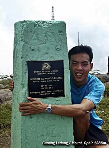 Don't wanna let go !
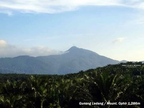
Magnificient view from Mount Ophir (Gunung Ledang)...
 The telekom tower from far view (1.1KM away)
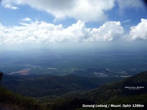
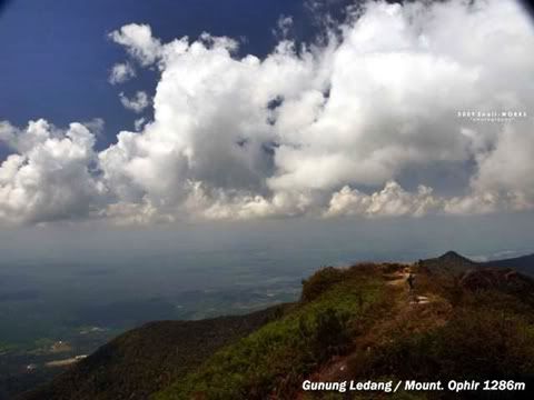 Scenic View from Mount Ophir
The above guide and photos are provided by Snail-Works. Thanks!
Start point to CP5 (Check Point 5) = 3.9KM
The trail length for KFC = 1.9KM
From Point A to B = 5.8KM - 1286m Height
You can refer from the picture below...
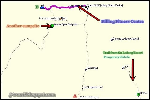
You can view the pictures of the other post for Another Campsite from the picture above...
Related post :-
* Camping at Mount Ophir (Gunung Ledang), Johor
* Mount Ophir (Gunung Ledang) Re-Open
* Hike on Mountain (Gunung) Panti, Kota Tinggi, Johor.
* Gunung Ledang Resort (Mount Ophir), Johor
MY TRIPS - Home