The Southern Most Tip of Mainland Asia - Tanjung Piai of Johor (Part 1)
 "According to Wetlands International, Johor holds 28.7% of mangrove forest in Peninsular Malaysia (27,733 ha) or 4.7% of total mangrove forest cover in Malaysia. Tanjung Piai covers 526 hectares of Mangroves and another 400 hectares of inter tidal mudflats. Mudflats are soft and muddy soil. It has high salt content and low oxygen levels (anaerobic). However, they are subject to hot and dry conditions." Info source : Johor National Park
I would like to break to 4 parts on our visit to Tanjung Piai (N1°16.095' E103°30.522'). Every part is different trail from the picture below. This post is the first part...
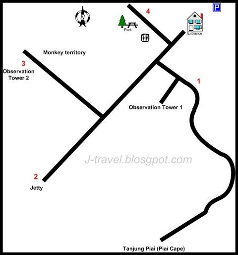 The four trail into four part
On one of the Sunday morning, me and a fellow blogger Ben were having a photography trip to the Southern Most Tip of Mainland Asia - Tanjung Piai. The journey took about almost 2 hours drive form Johor Bahru to the National Park. We reached there around 12:30pm...
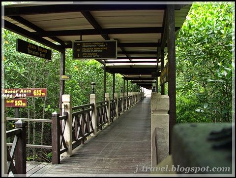
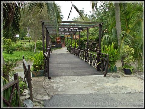 The first wooden bridge after the parking
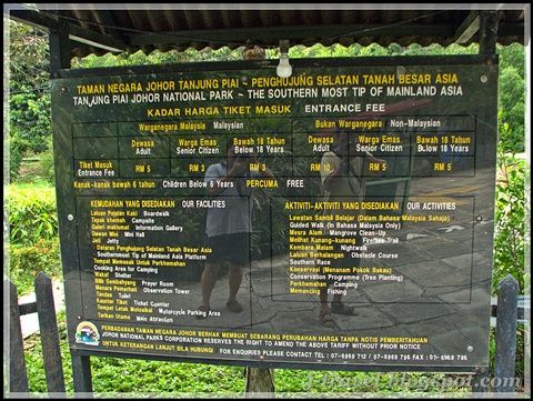 The entrance fee is MYR5.00 for Malaysian and MYR10.00 for foreign visitor. Car parking fee is MYR3.00 per car.
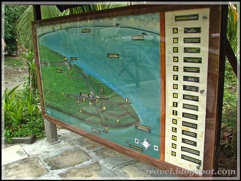 The Location map of the National Park
After the shooting the surrounding, we proceed to the entrance of the park.
 Not many visitor around when we were there. So it was quite free to move around...before we start on the trail, you can read the information and what are the activities in park around the main office.
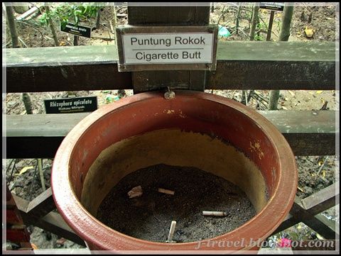 If you are smoker, Please take note!
 We decided to take the left trail first, that was the trail lead you to the TIP. The trail is 653 meter from this point...Wah! To reach the TIP and walk back will be more than a Kilometer! That was a good exercise for us!
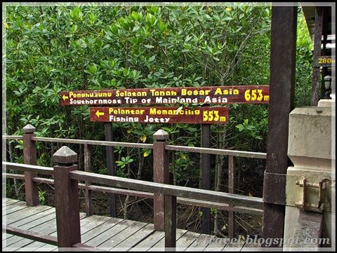 There is a Fishing Jetty nearby the TIP, but we skipped! Because we had to finish total of 4 trail around the national park.
Along the way, I felt peaceful and calm...I Love the greenery surround us!
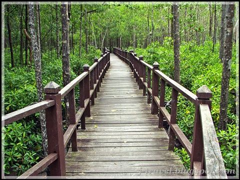 My eyes were busy looking around and my hands was busy pressing the shuttle of my camera! haha!
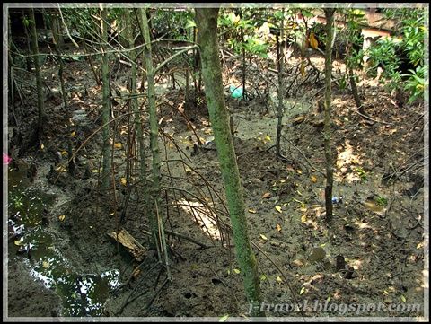 Mangrove area also capture rubbish naturally, as you can read from my Kukup Island post. Beside the green of the plant both side, you will see many Rubbish being capture by the Mangrove too!
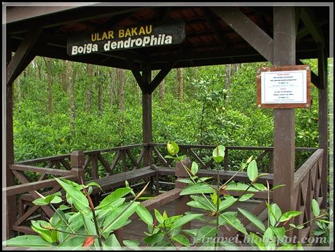 Along the trail, you can have a rest by this small area. There are many of them...
Once you reach the junction, on your left is going to the fishing jetty and on your right is the last path to the Southern Most Tip of The Mainland Asia!
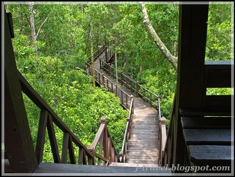
 The trail is towards the sea
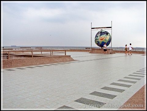 The platform area at the TIP
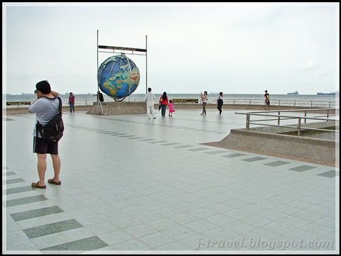 Ben was busy snapping around
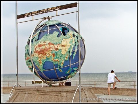 Do you see anything?
There is a platform where you can enjoy the scenic view at the tip. It's windy all the time, there are some words that told you have reach the TIP.
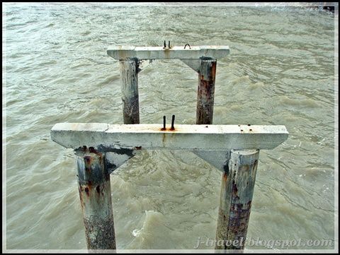
 The sea traffic is very busy everyday over here, do you notice it at the background?
The pillar below maybe standby for the expansion of the platform...
 Most of the National Park around Johor have these words..."I came, I saw, I conquered"
The Communication Radar of Tanjung Piai is on your left...
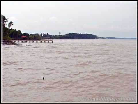 The Fishing Jetty and the Communication Radar
We spent around an hour over there to enjoy the surrounding before we continue our journey to other trail...
While on the way back, there was a nice Observation Tower on the left. So we just climb up to look for surprise on it...(if there is...)
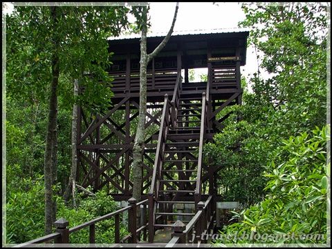 One of the Observation Tower of Tanjung Piai
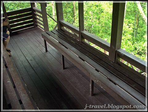 Simple setup on the tower
I believe it's for Birds watching...too bad we see no bird on that day...
 Any missing child?
 We were really happy and fortunate on that day's weather, because if rain...it spoiled our whole trip to the TIP.
Related post :
* Fiddler Crab at Tanjung Piai (Cape) - Johor
* The Jetty of Tanjung Piai (Cape) - Johor (Part 2)
* Bluespotted Stingray at Tanjung Piai - Johor
* The Thrid Trail of Piai Cape (Tanjung) - Johor (Part 3)
* Bebaru Trail of Piai Cape (Tanjung) - Johor (Part 4)